Things are beginning to blur a bit into one with all of these settlements on Essex estuaries but that's not quite the case with Brightlingsea, just yet.
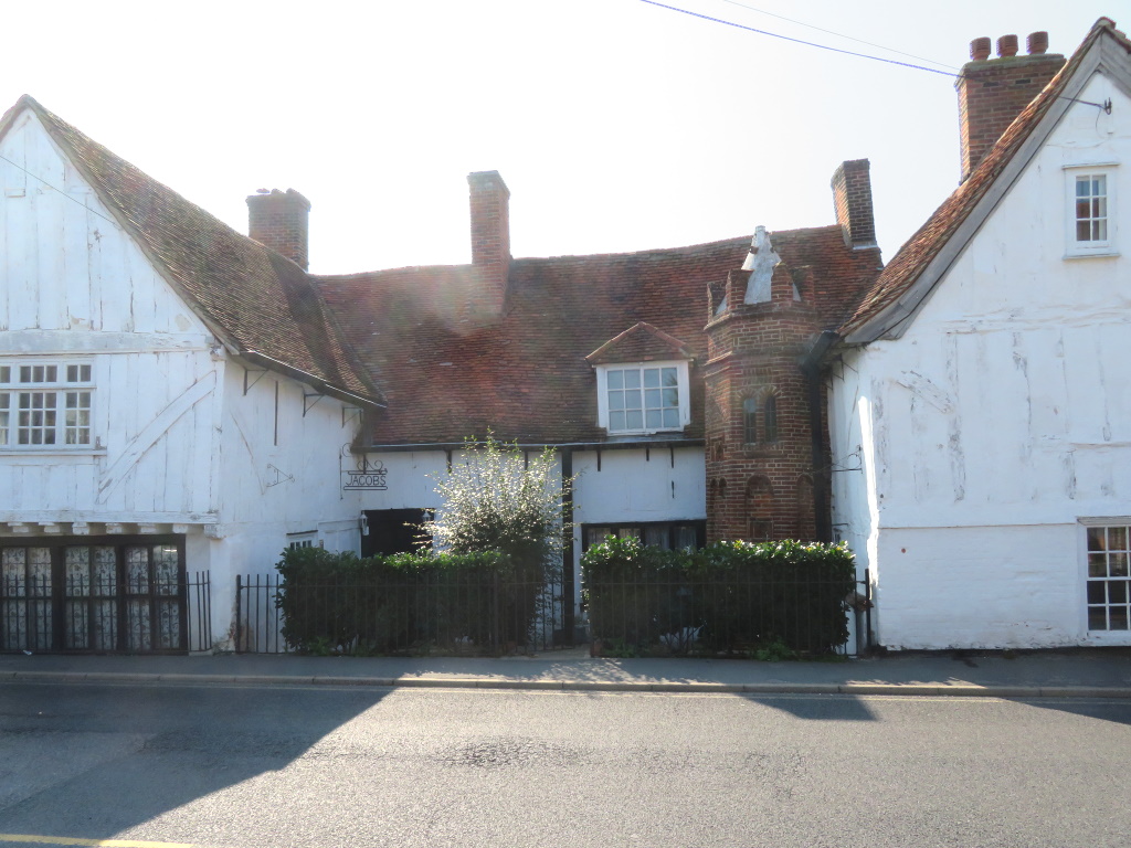
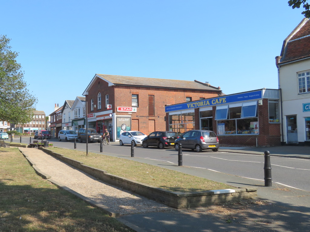
Parked up next to the YMCA™, the high street is doing a fairly good impression of being inland before the Tudor fades into the fine if a little functional.
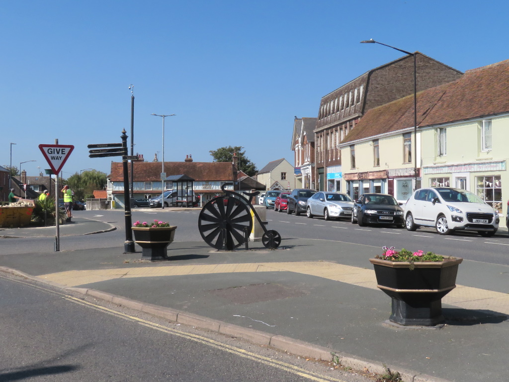
A couple of nice touches, however, the fake penny-farthing is itself a stand for your bike while you pop to the shops, say.
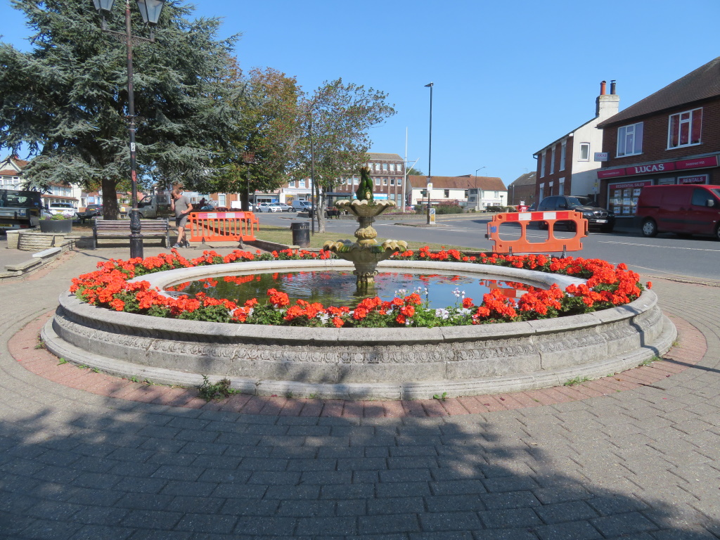
The colour of the council barriers has also been carefully considered to enhance that of the geraniums, planted and well-tended in a small but fabulous fountain garden.
There's even an old Co-op™ society building, something that's not often seen outside of industrial areas.
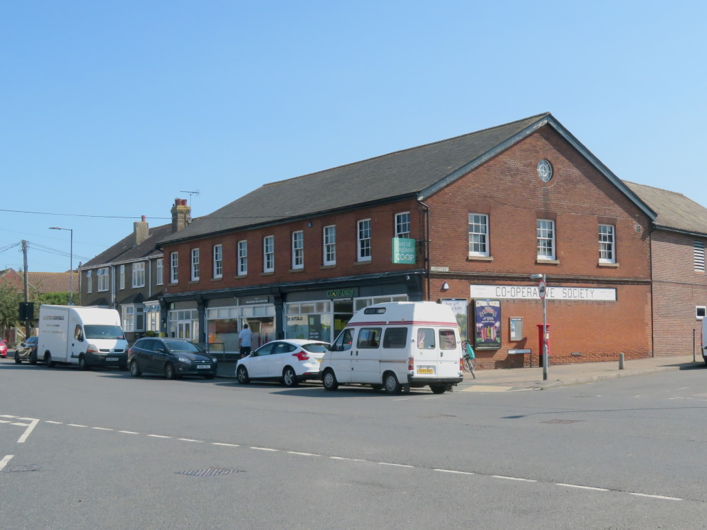
Fishing here, for sure, but they also used to build ships, you see, and that'll have been big 'uns, the likes of which Sting and Jimmy Nail have been heard to sing of.
That meant lots of work for local labourers but there's no hint of where that happened and for that you need to head five minutes south to where there's a whiff of and where the saltwater kicks in.
Boatbuilding on the big scale dwindled and was all but gone by the '60s. The Aldous shipyard is now all weatherboarded new-builds but some of the industry beyond still remains, not shown.
Here was also as well-known for the oyster as Whitstable, Oyster Tank Road is a clue, but a couple of war of the worlds meant the shelling had stopped, on both fronts, by the '50s.
Visitors may have been coming since the '20s, a little later than most places with a railway, but the sounds of rivetting and shellfish processing were hardly a draw.
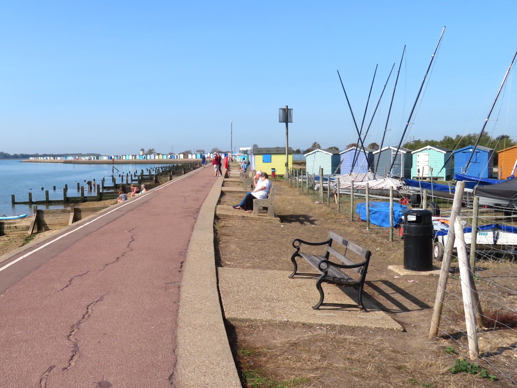
Not until they were gone was there a bit of a boom and Brightlingsea's beach huts now stretch to the horizon.
The 'beach' is abutted by a concrete, tidal pool but there are plenty of takers for a plodge and just about enough sand to go around.
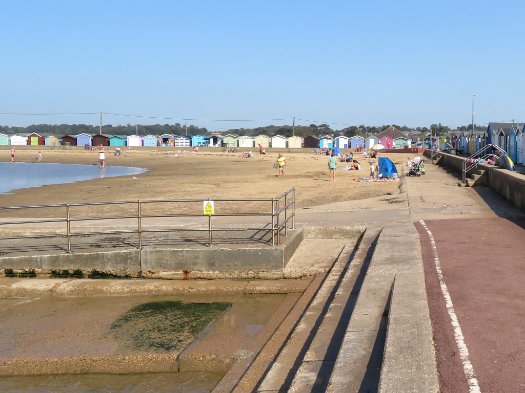
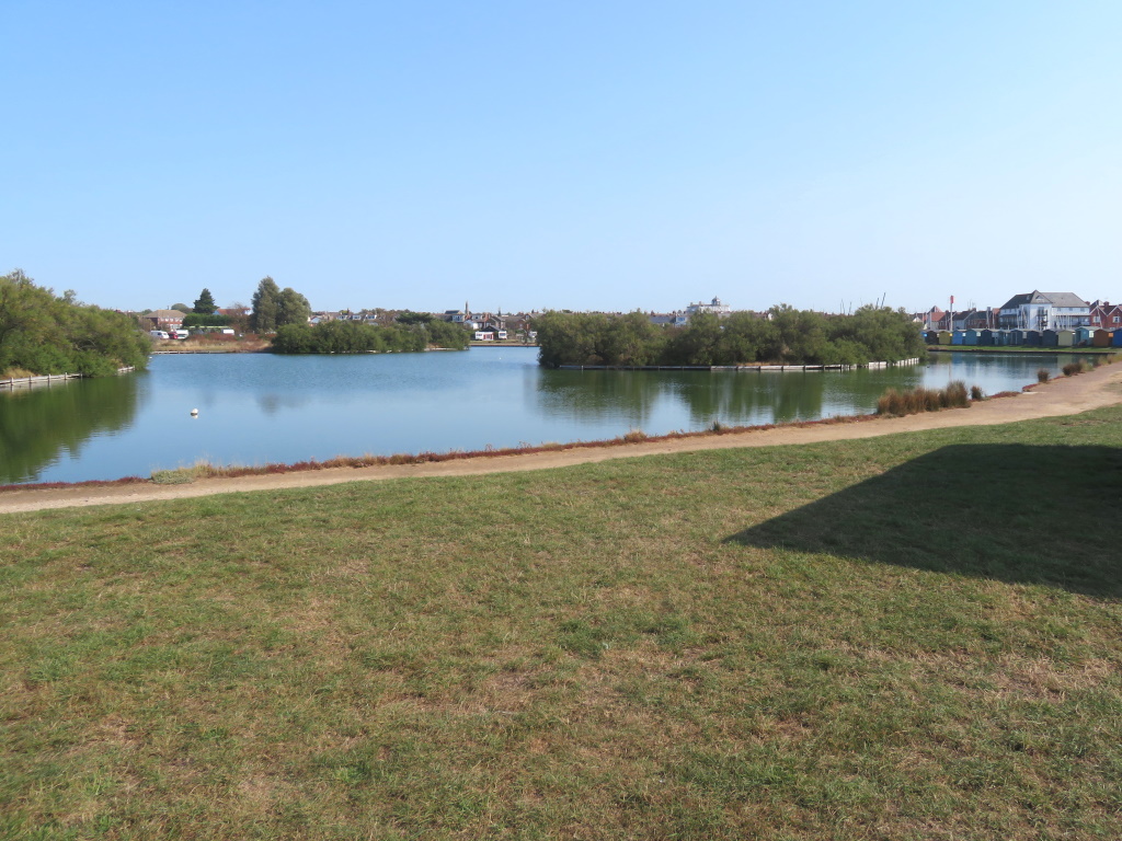
Throw in a lido and a big old boating lake and that's a fun-for-all-the-family afternoon out, at least it would be in normal times. Things aren't fully up-and-running following Lockdown 1.0™ so what better time for a wander, eh?
While we're here, is it lee-doh or lie-doh? SlyBob's never quite sure but, either way, just call it an outdoor pool man!
Bateman's Tower is pure folly and not for lookout as first thought.
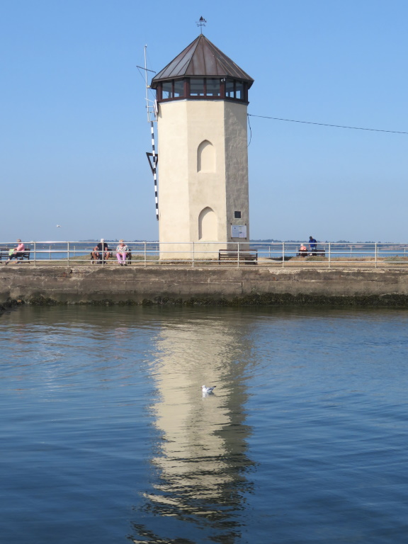
Look closely, however, and, while it's not quite as wonky as the one in Pisa, there's a little bit of a lean to it.
It just about marks the start of the River Colne, running down from Colchester, of course, and the raised, earthen bank keeps it firmly at bay.
Not a bay, per se, more like the confluence of a few creeks and that's it all there on your left with the Brightlingsea Marsh National Nature Reserve, no less, on the right.
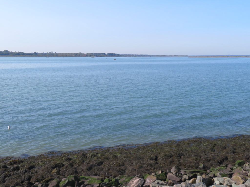
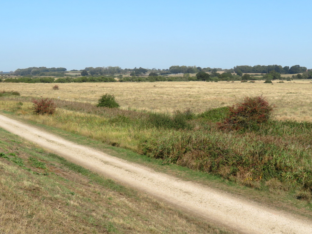
There's some top topography going on here so let's head over to Point Clear to make the, well, point clear.
Within spitting distance of the old dockyards is a caravan park but that's a 20-minute drive for what's not much more than 100 yards. Brightlingsea Creek is the cause and the many inlets without a bridge make this part of Essex a diverting area.
You get here via the quaint village of St Osyth, the driest place in the UK, weather-wise, and where he happened to be a she, actually, but the point of Point Clear?
Because it's here, basically, at the end of a ramshackle road with a view over to Mersea Island and the car park that couldn't accommodate you.
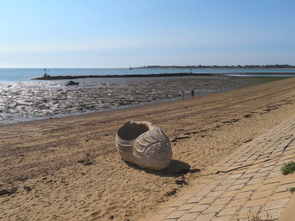
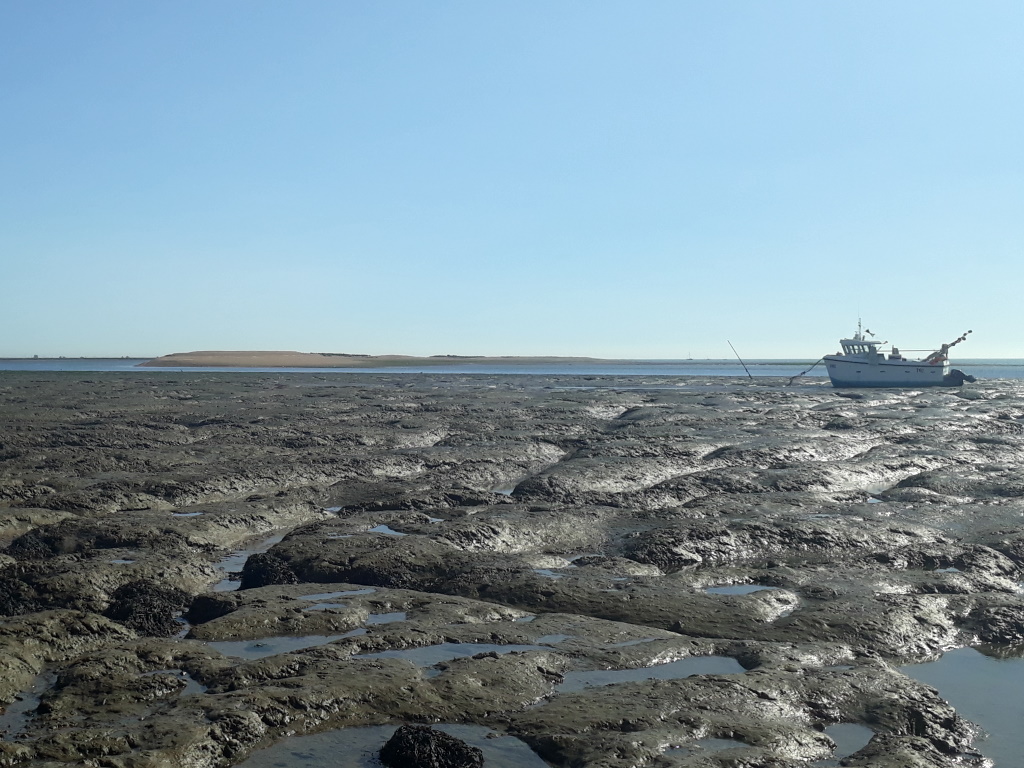
There are rumours of a naturist beach south of St Osyth but it looks like those brave enough to bare all will be getting muddy in the nuddy.
Meanwhile, back in Brightlingsea, the path looks like it might stretch all the way to Colchester but another inlet will have you looping back.
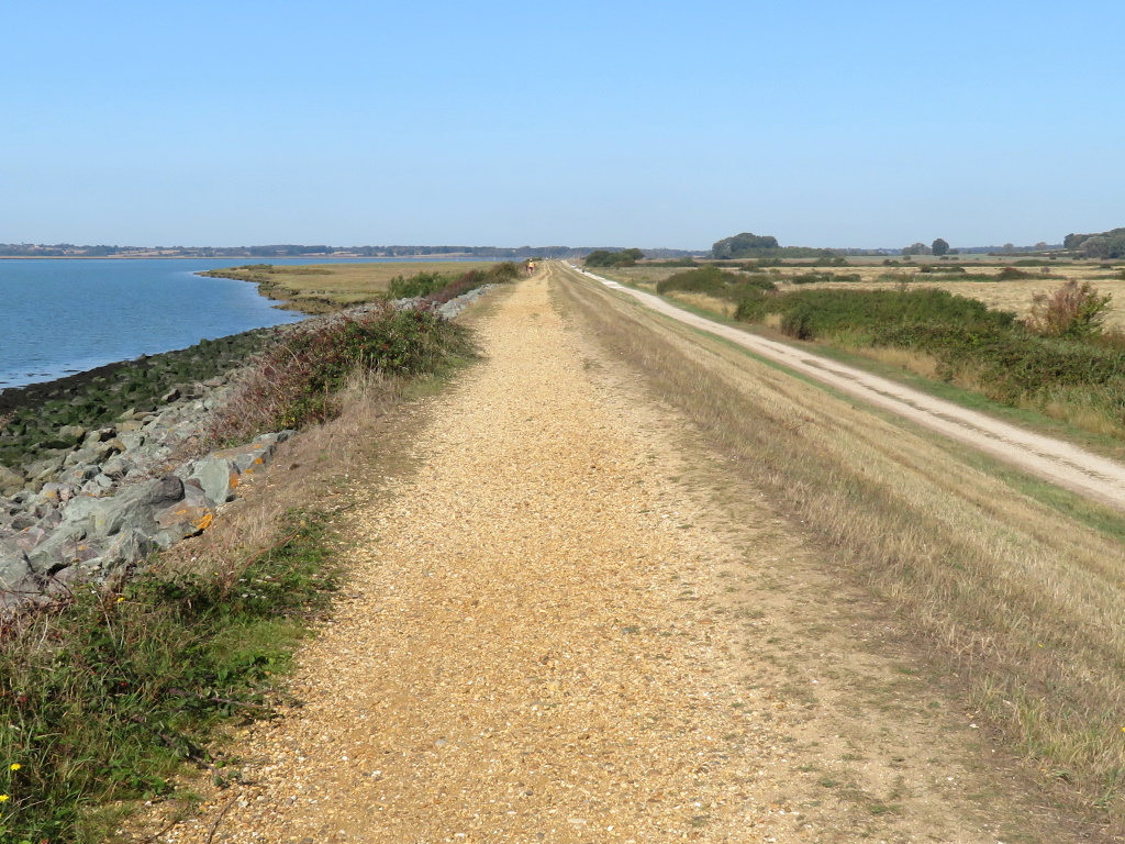
There was some talk of a swinging bridge over Alresford Creek but tutty, sailing types kicked up a right stink leaving the single road in and out as the only way in Essex, at least for getting to Brightlingsea.
That stink, by the way, couldn't have been half as bad as the sewage works you've just passed, best described as, well, 'ripe' on a warm, windless day.
It's a bit farther than you might like from a quarry, disused, back to town but parking there saves skinflints the prohibitive price of the PAY & DISPLAY down on the front.
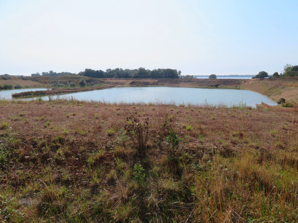
£5 if you're here for more than four hours during what's not a lot less than a lockdown!
That makes for just the two things that stink round here, well, that and not building them ships no more, right comrades?
