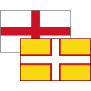
It's 'A limestone tied island, 4 miles long by 1.7 miles wide, in the English Channel', alright, but more on that in a minute. Not a place per se since there isn't an actual Portland, rather a handful of settlements on a limestone mound south of Weymouth.
It's fascinating stuff, geology-wise, since a lagoon has had to be crossed as well as, what's now known to be called, a tombolo to get to it and that's not something you get to do every day, eh?
The first port of call is the port and the area around Castletown. Let's recoup some of that capital outlay since being so beguiled by Belsay last summer but while it's advertised as open, Portland Castle most definitely isn't.
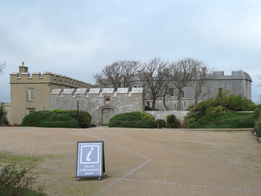
This is slightly out of season, you see, and for just a handful of visitors to one of Henry VIII's first forts, the overheads are prohibitively expensive, probably.
If that sounds a little defensive of English Heritage™, these chaps played a major hand in defending England's Heritage.
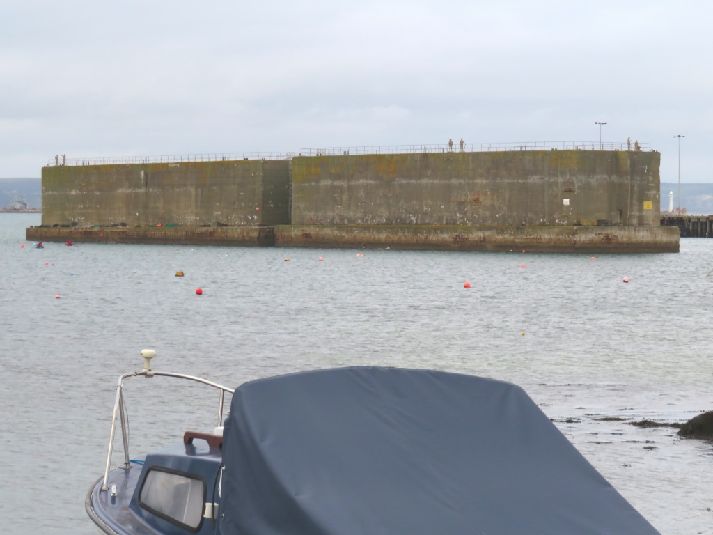
Part of the temporary Mulberry harbours used during the D-Day landings, they were brought back from Northern France and now break wind for cruise ship passengers.
Rather remarkably, these are floated and sunk with 1940s compressed air and there are plans afoot to soon let visitors atop. There's company up there already in the form of six statues to represent the sailors, G.I.s and dockers who all played their part.
They're redeveloping in and around the former naval base, which is still a part-working port or dock, whatever the difference is.
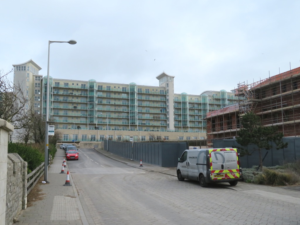

The Royal Navy Air Service are also gone but the runway's still being used to train HM Coastguard pilots, among others, and this fella had at least three goes at some tricky-looking reverse parking.
It's up and through the village of Fortuneswell where it's realised that the clocks have stopped and by the look of things, round about 1950.
The sense of the surroundings is timeless, though, and that'll be the tombolo on the left or the start of Chesil Beach but more on that in a minute.
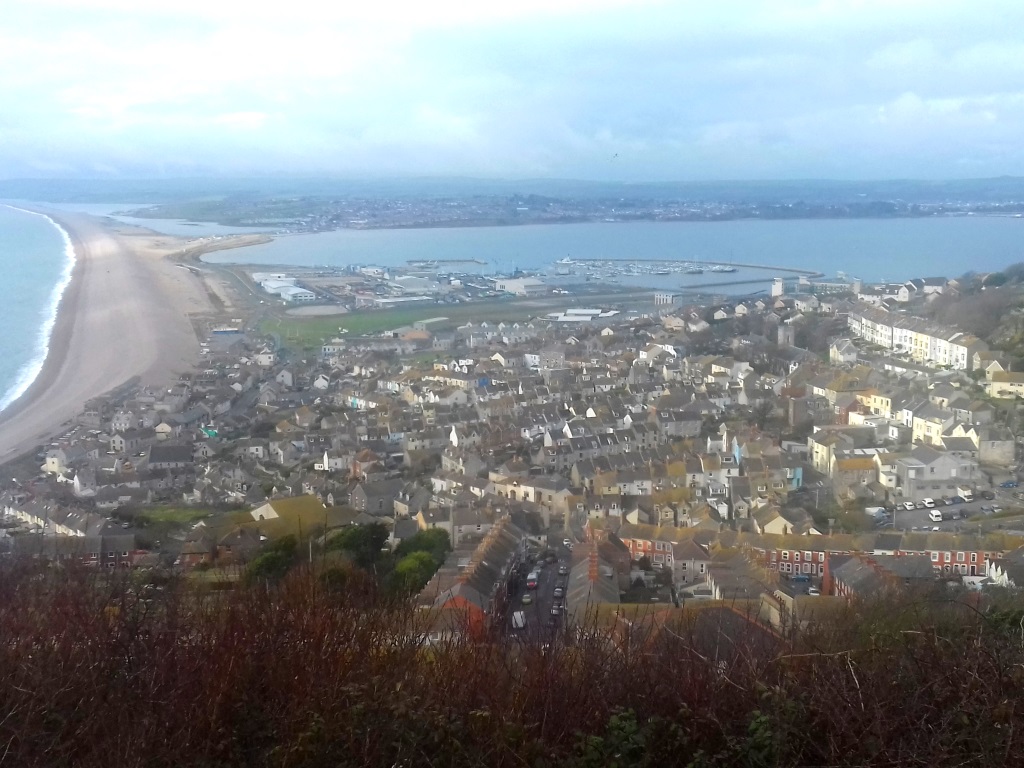
While this is technically tied to the mainland, this isn't where things join up but 10 miles north-west near Abbotsbury.
Tombola is rooted in Latin pillow, by the way, unlike the Germanic tombola since you ask. Aren't words great?
Redevelopment of the harbour included hosting the sailing events for the London 2012 Olympics. The 19th-century breakwaters make for more of a lake, you see, and a less choppy start before things head out to sea.
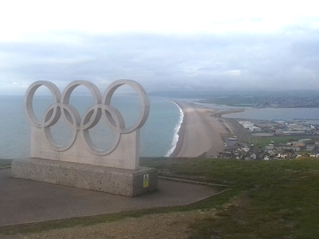
There's a permanent reminder and absolutely everybody will take exactly the same amateur snap from exactly the same spot.
Young, uniformed staff are trained to be a little more formal than they really need to be in an old-skool hotel bar that's doubling up as a coffee shop.
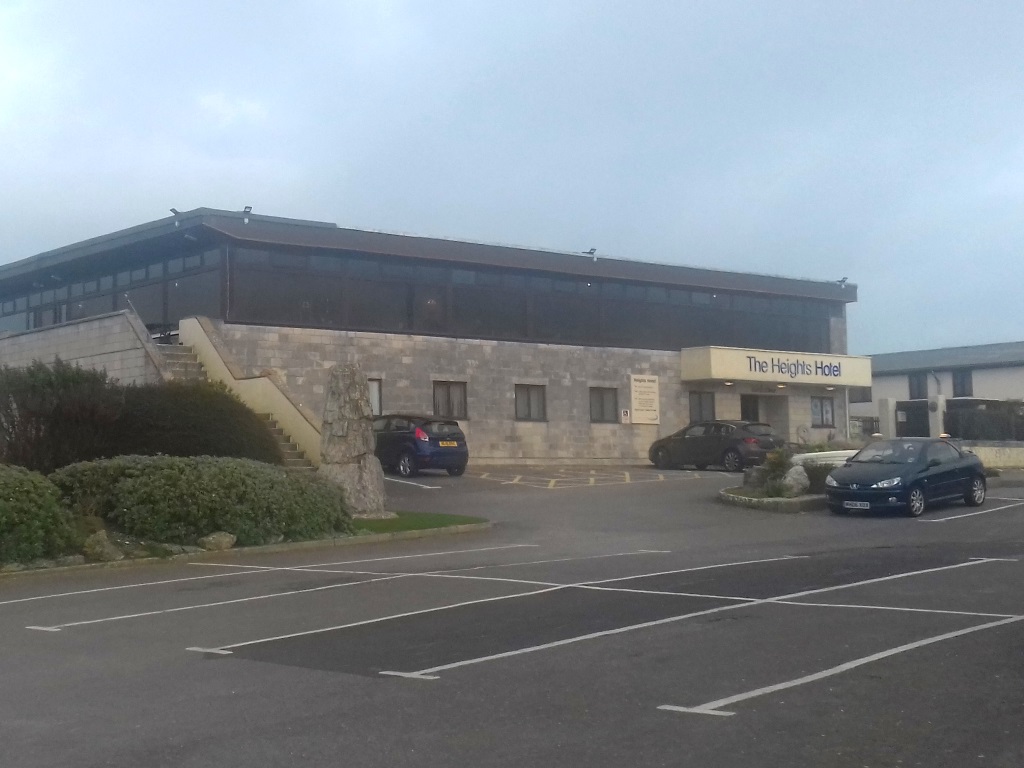
Still, no complaints with the Portland crab sandwich but a bowl of chips should have been the clue that a polite 'Sir' wasn't really warranted.
Away from Fortuneswell, there's an eerie feel not helped by the gloom and the rocks that pepper this place. Evidence, of course, of the quarrying for Portland stone of which this treeless isle is largely comprised.
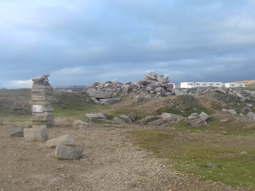
This particularly premium type of limestone can be found keeping Buck Pal intact and the UN headquarters in New York, no less, or as the material for a set of Olympic rings resting randomly up a hill.
The creepy theme continues at Weston's church and cemetery where someone, someday will film something spooky here.
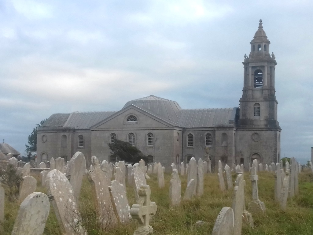
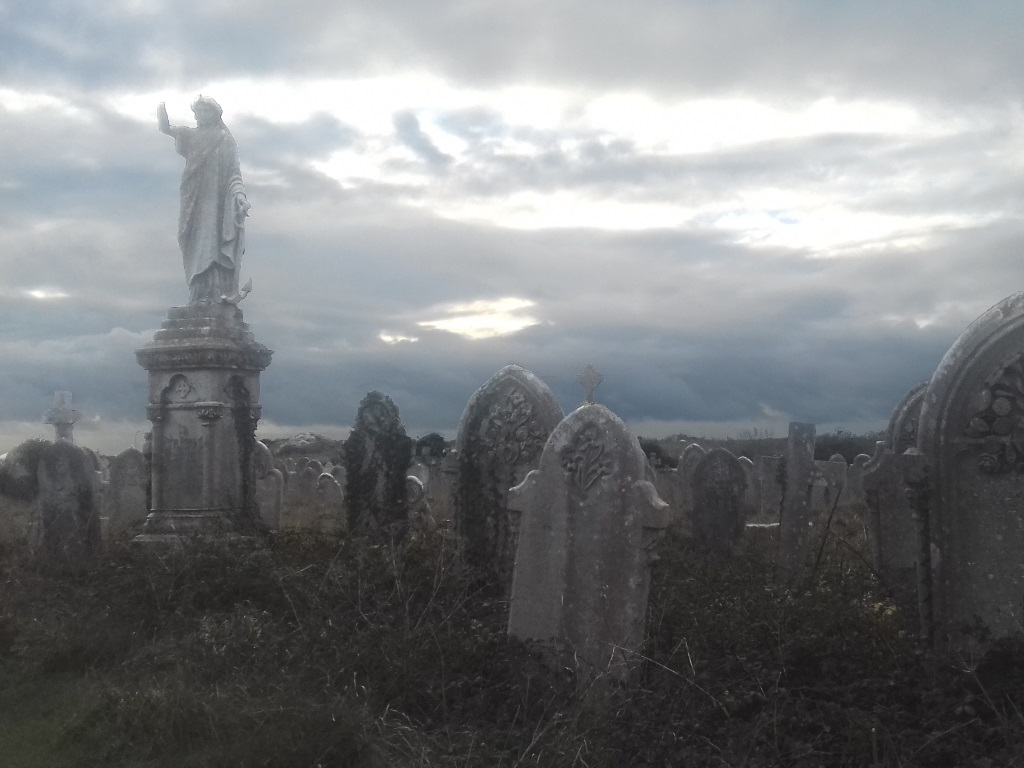
Something that's Doctor Who-scary, say, although it's a bit of a hike to here from Cardiff.
They've made things easy for you to find your way around and if you're not in Weston then it'll be Easton or down at the bottom in Southwell.
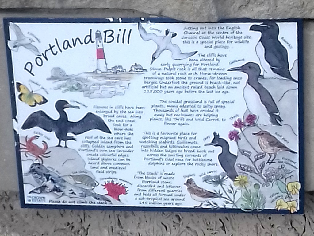
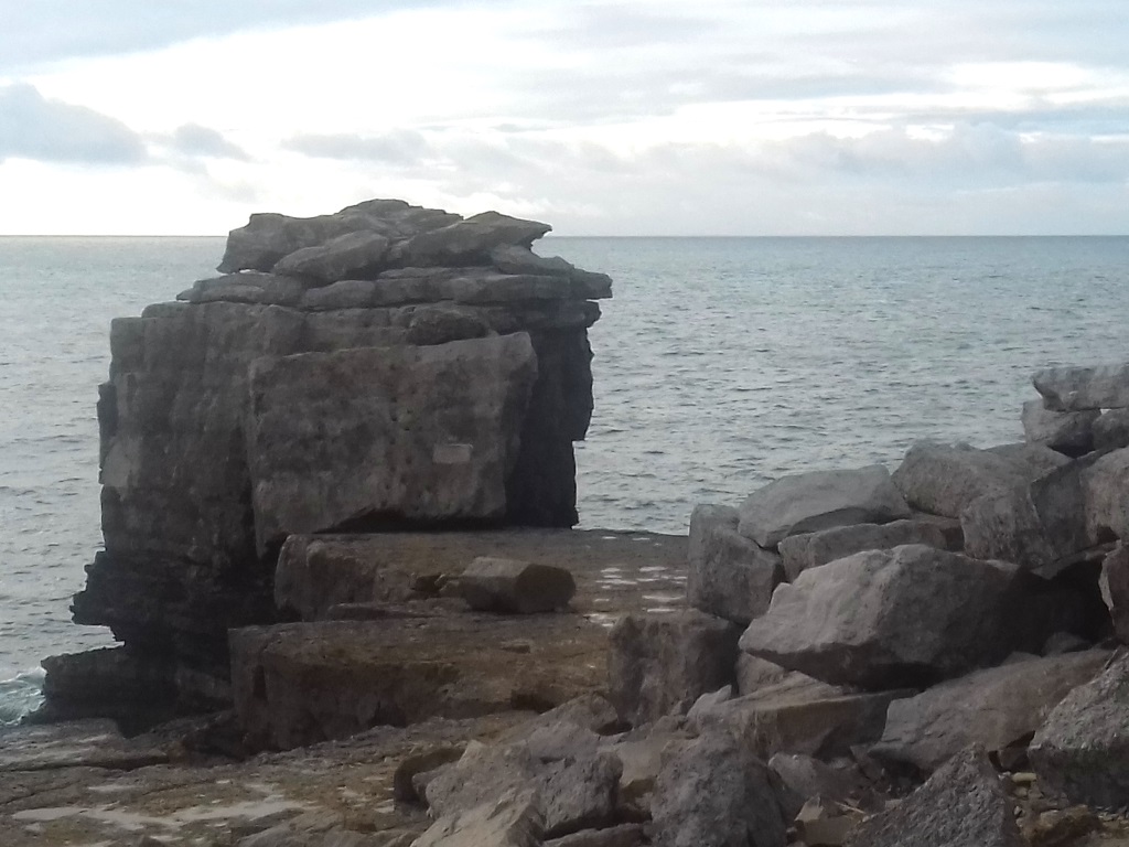
Just south of Southwell you'll find Portland Bill, of course, the tip of the promontory that pokes four miles into the English Channel.
That means the aids to nautical navigation should come as no surprise, unlike the parking that's not nearly as pricey as Land's End.
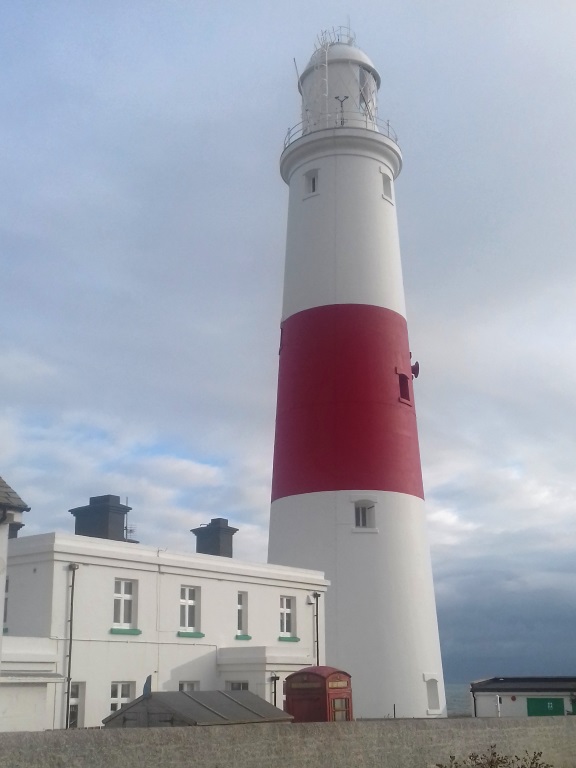
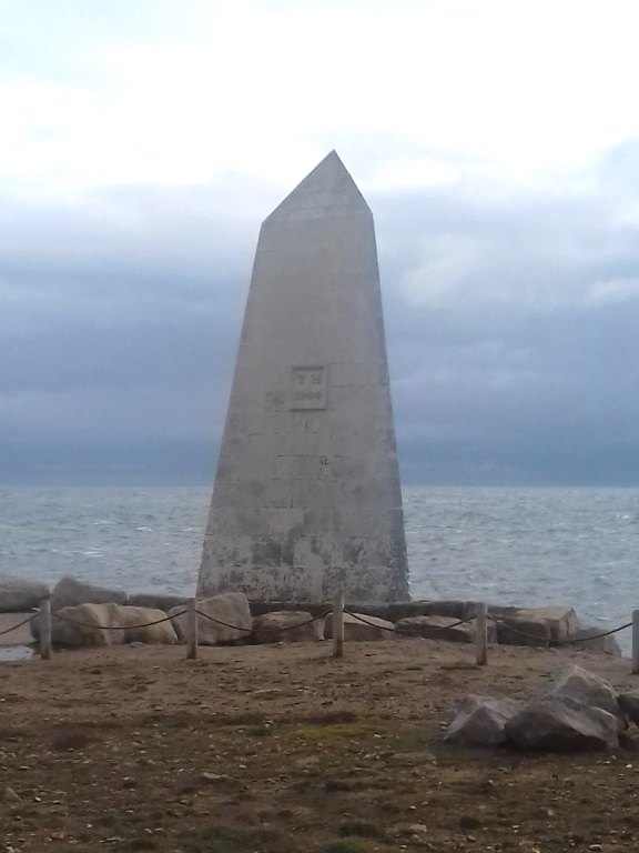
This is, in fact, a smaller but better version of it although you won't be wandering too far what with the MoD on the doorstep.
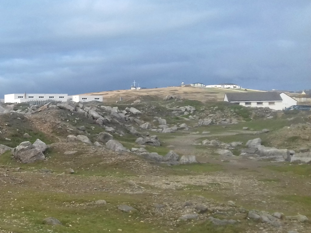
Nothing too sinister, it would seem, they just test magnets in this remote spot since there's nothing in that limestone to interfere with things, they say.
It's not just the cod that's been getting battered here for over 60 years. This is Dorset's Land's End, remember, and there's nothing south until Guernsey with some often stormy sea in between.
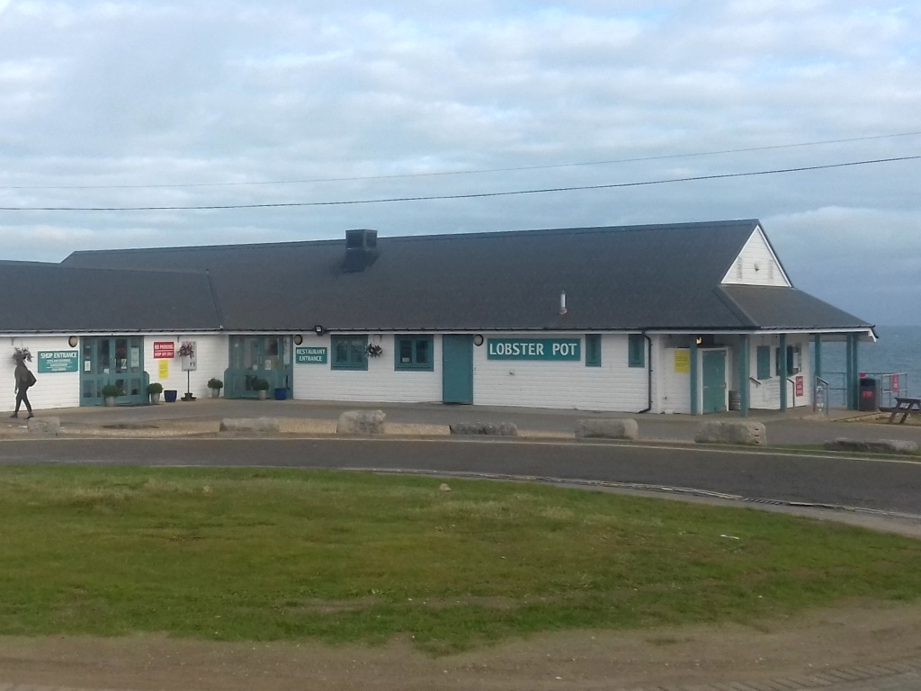
Advising trippers speak highly of the crab, which will have you scuttling back, they say.
Meanwhile, back near the mainland, there's a chance to see Chesil Beach and the Fleet Lagoon close up.
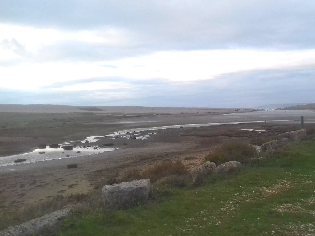
It's fairly familiar just from watching Coast and Countryfile but if you're not so familiar, just watch Coast or Countryfile where it'll feature every fourth episode or so.
It's the start of Dorset's Jurassic Coast, of course, so called because of all the fossils so SlyBob aren't the only dinosaurs lumbering along here.
The Dorset Wildlife Trust-run visitor centre can fill you in on the longshore drift, the cause of this 40-foot-high bank of pebbles, probably, which runs nearly 20 miles from ' Portland'.
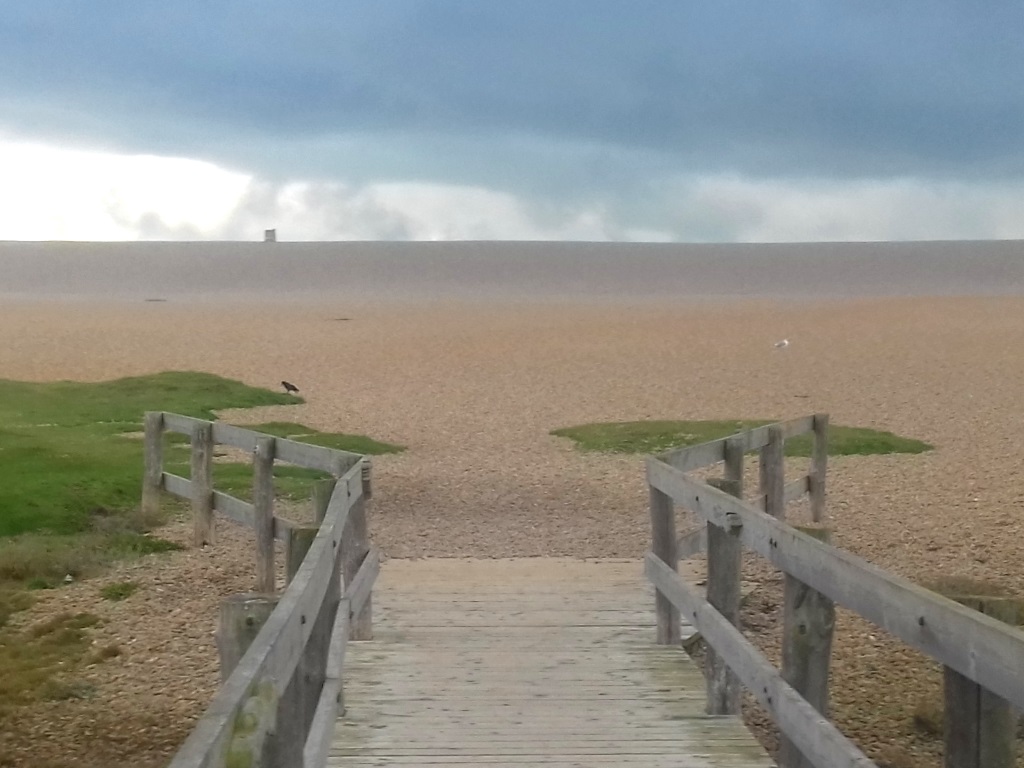
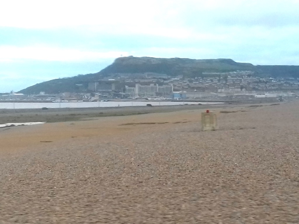
It's shingle-sapping stuff, for sure, on this type of terrain and as much progress is being made as a T-Rex learning to play the piano so best of luck if you're with an old friend, the South West Coast Path.
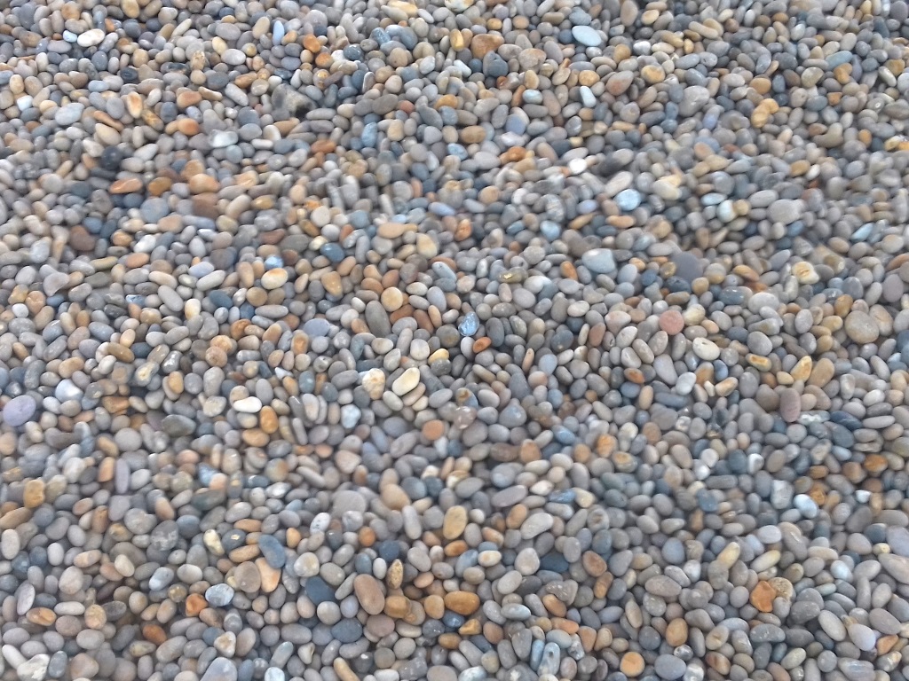
Recent research, by the way, indicates a barrier beach that has simply drifted landwards, whatever that means exactly, but a tombolo sounds much better, eh?
If you're walking England's longest National Trail anticlockwise from Minehead, well done, you're about 570 miles in with just the 60-or-so to go and that includes not cheating and sticking to the path down through Portland Bill. If you're coming from Poole, then it's still about 570 miles to Minehead.
If you're exhausted from relentlessly pounding the pebbles, here's some news, you've gone the wrong way! The path passes on the other side of the lagoon, you see, in one of the most biodiverse areas of the UK although it's still not thought that algae should really count.
Today has been more sinister than expected, in a not unenjoyable kind of way, and the Dickensian-looking prison hasn't even been mentioned.
Isle of Portland? Portland Bill? It has come to be known in this house as the Isle of Bill although that sounds like something Hillary Clinton used to say.
It's known she didn't mean it, she only stuck with him for the backing of her inevitable, but ultimately failed, campaign for the presidency.
Unlike her, however, this tombolo can't be Trumped.
